About

Our Mission

Help every rider exit faster by telling them exactly where to stand and which door to use for each station, line and direction, so they step off beside the right staircase or interchange, walk less on the platform, and reach their destination sooner.


The problem

Most journey apps help you pick a route and a train. They do not tell you where to stand or which door to use. Once the doors open you are on your own. On long platforms and at busy interchanges it is easy to walk the wrong way, get stuck in the main flow and lose time.

This shows up most at big stations. Think Oxford Circus in the peak or King’s Cross when several lines unload at once. You can leave the train near the back and then realise your exit is at the far front. You walk the full platform, fight the tide and then miss the cleanest interchange point. That time loss stacks across a multi stop trip and it also adds to platform crowding for everyone else.

What Exit Operation is

Exit Operation is a data layer that sits beside your normal planner. It gives carriage and door guidance for each station, line and direction. The rider sees a clear instruction before they board. Stand here. Use this door. Step off close to the exit or the transfer you want.

It does not replace your planner. It adds the missing last step. The effect is simple. Less walking on the platform. Fewer wrong turns. A calmer experience in the busy times and a faster one in the quiet times too.

How it works

  • We map exits for every platform.
  • We link that map to the carriage layout for each line and direction. Different lines have different train lengths and door spacing. Guidance reflects that.
  • For a given stop we return a position on the train and the matching doors that open near the exit. The instruction is simple to read and works before you board.
  • Partners can pull the data by API or render the same guidance through a light widget. The widget is easy to theme so it fits your design.

Coverage and scale

Data covers all 272 London Underground stations across all fare zones. It is aware of train types and carriage counts. Lines with six cars, seven cars or eight cars get the right spacing and the right door indexes. This matters because a longer train changes how far you would need to walk on the platform.

Guidance is built to behave the same at small local stops and at major interchanges like Green Park, Bank and Stratford. DLR and the Elizabeth line are not included yet. They sit on the roadmap and will be added as separate layers once coverage and checks are complete.

Results and impact

Typical saving off peak is around two minutes for a single stop. In heavy crowds a single stop can save about five minutes when you avoid the long walk and the dense flow near the wrong exit. On a four stop trip those minutes stack and the journey feels smoother the whole way.

At full adoption across the Underground the total saving adds up to more than ten thousand years of human time each year. That comes from timed walks, station counts and carriage length adjustments. It is a projection and we are open about the method. The goal is a clear, honest view of impact, not hype.

Integration

  • API: REST JSON. Query by station, line and direction. The response gives stand positions, door numbers and simple labels you can display to a rider.
  • Widget: a small embed that shows the same guidance inside your app or site. You can theme colours and type so it matches your brand.
  • Performance: responses are compact and cache well on a CDN. This cuts latency on mobile networks and keeps costs predictable.
  • Fallbacks: if a station is under works or data is temporarily unavailable the API flags that state and returns a safe default so the UI never breaks.

Partners usually start with a small pilot on a single line or a group of interchanges, then expand once they see the effect on journey times and user feedback.

Data quality and updates

We combine platform geometry, carriage layouts and on site checks. We time walks in quiet and in peak conditions to see how crowds change the result. Each record has a version number and a short change note. When a station layout shifts or a lift is out for a long period we update the guidance fast.

Quality control uses three passes. A desktop build, a field check and a second review by someone who did not create the first draft. We keep a change log so partners can see what moved and when. This helps with audits and with customer support inside your app.

Privacy and accessibility

No personal tracking is needed. Guidance can work with just the planned route and the station context. If a partner wants device location that choice is up to them. The data itself does not require identity and we do not profile riders.

We include exits that work best for lifts and step free paths. We also prefer calmer corridors where that helps people who move slower or carry luggage or travel with children. The aim is to make the same trip easier for everyone, not just faster for a few.

Who it’s for

  • Mapping and mobility apps: add a clear stand here prompt and the right door to use. Keep your current planner and layer this on top. Users see a result they can act on before they board.
  • Operators and venues: shorten platform walks and smooth flows at pinch points. Better interchange times, fewer bunching hotspots and a calmer feel at exits and lifts.
  • Riders: faster exits, fewer wrong turns and less stress in the peak. Helpful for parents with buggies, people with luggage and anyone who prefers a simple, direct path.

If you already show live train data or crowd levels this pairs well. Exit guidance gives a clear action a rider can take right now.

Roadmap

Near term work focuses on deeper interchange detail, more accessibility notes and faster updates when stations change. We are also preparing coverage for DLR and the Elizabeth line as separate layers so partners can add them when ready.

The long term plan is to bring the same level of precision to other cities. The idea is simple. When you step off the train you should already be where you need to be.


Founder’s note

Clear, practical guidance people can use before they board.

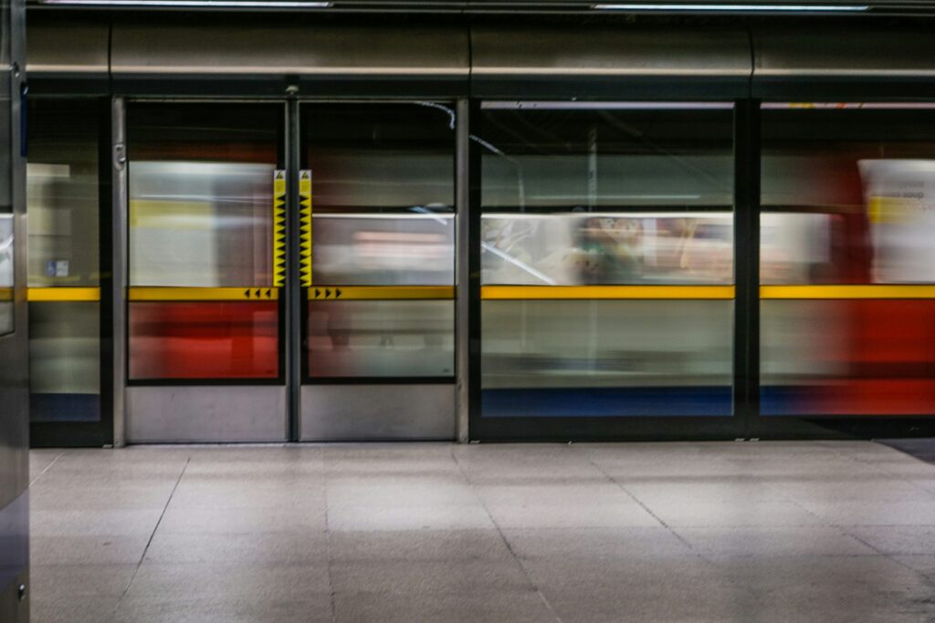
Exit Operation maps exits, stairs and lifts to the doors that land you closest for each station, line and direction on the Underground. The output stays simple. Stand here. Use this door. Step off near the staircase you want or the best point for a clean transfer.

The dataset comes from real layouts and repeat checks across different crowd levels. We time walks, review the path choices and keep a plain change log so updates are easy to follow. When stations change, the guidance changes. At interchanges the system prefers short, clean transfers. At final exits it favours paths that keep people moving without the long platform walk.

Integration is straightforward. Add the API to a planner or use a light widget and theme it to match your product. If you want to see it on your routes, I can share a quick demo and set up a small pilot.

Joseph headshot
Joseph Dixon
Founder, Exit Operation